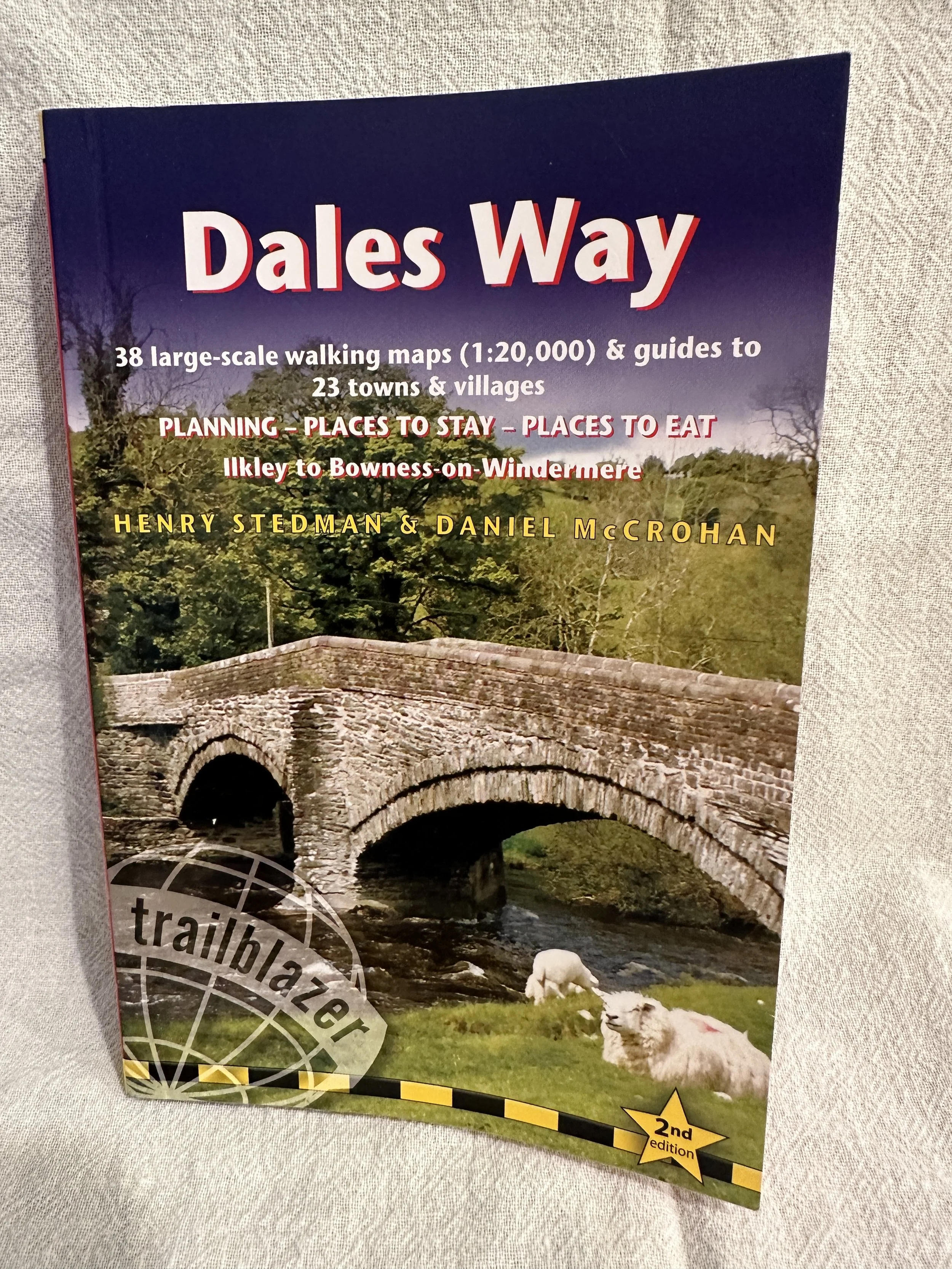
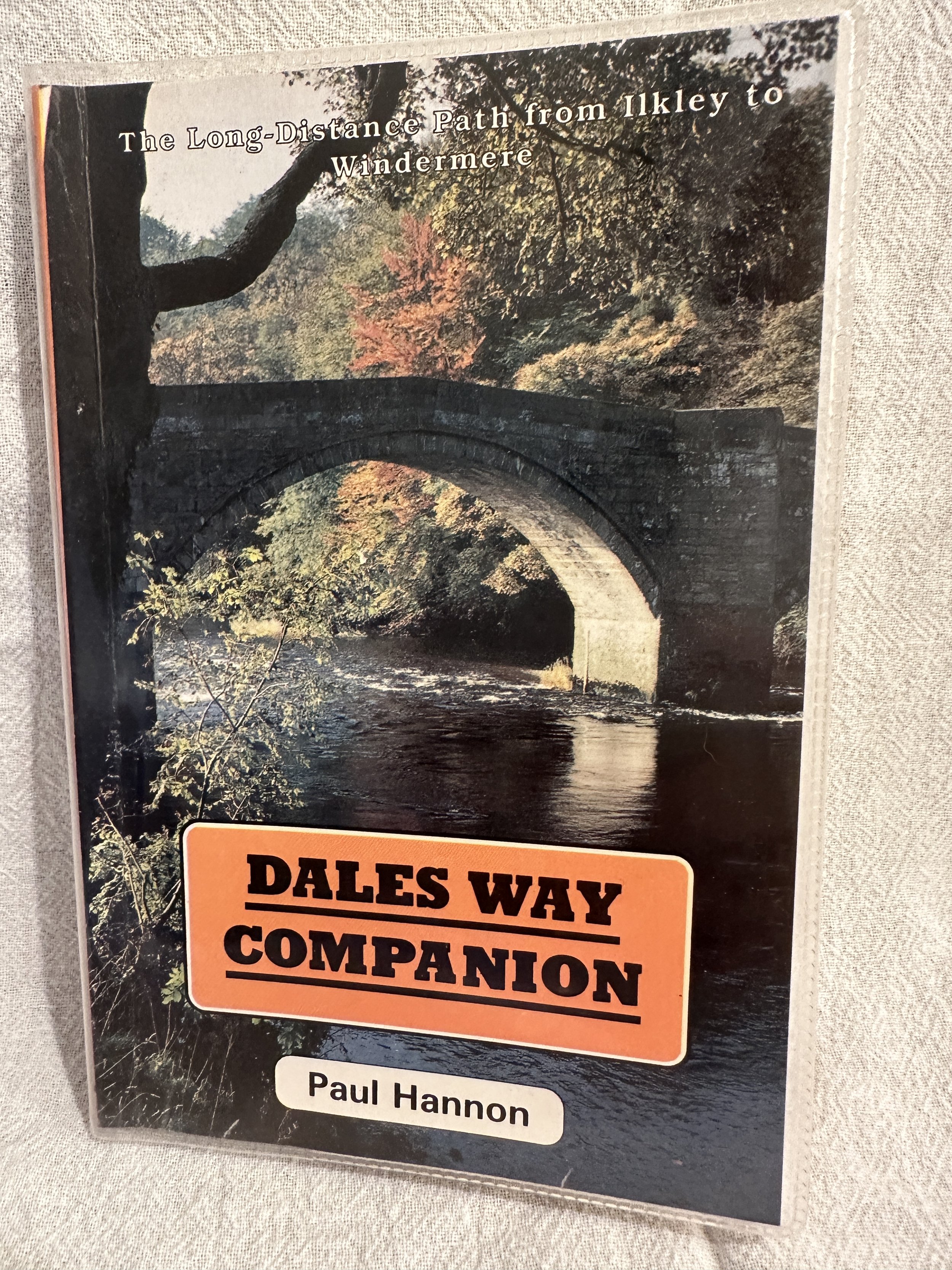
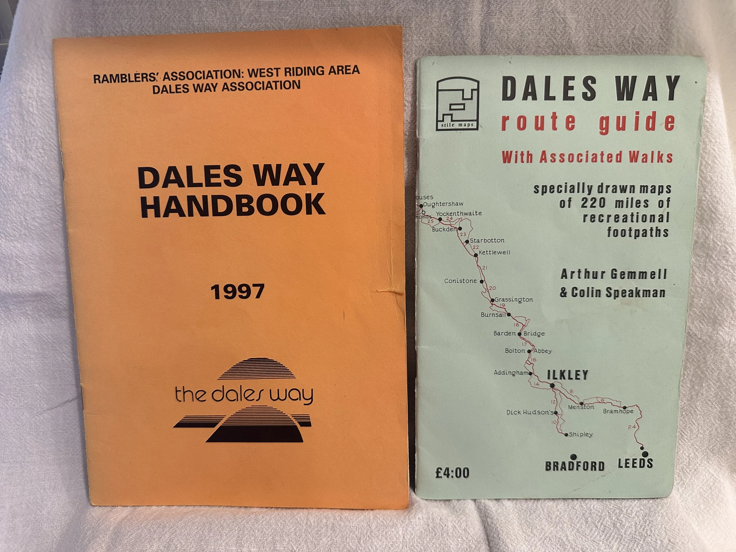
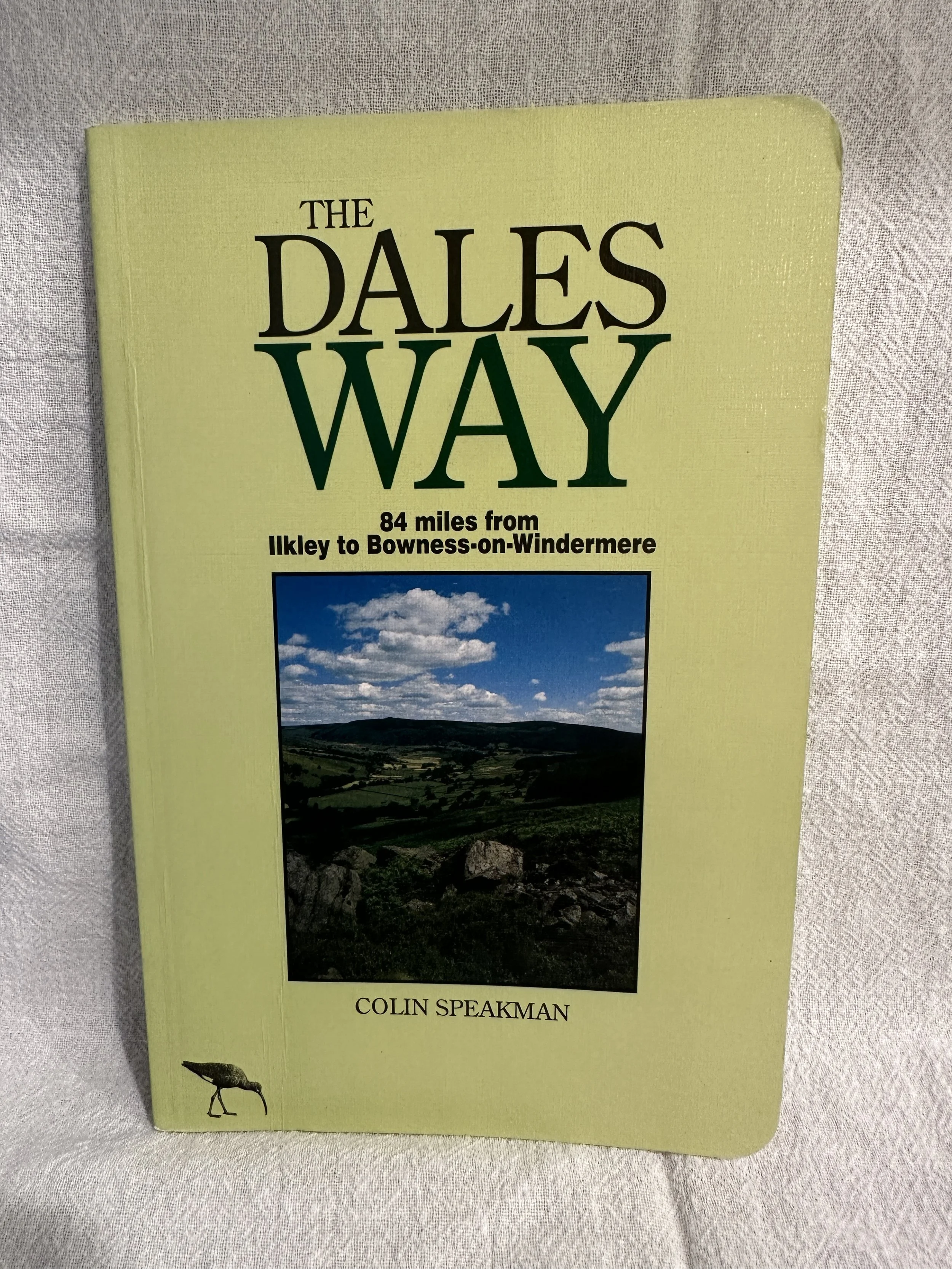
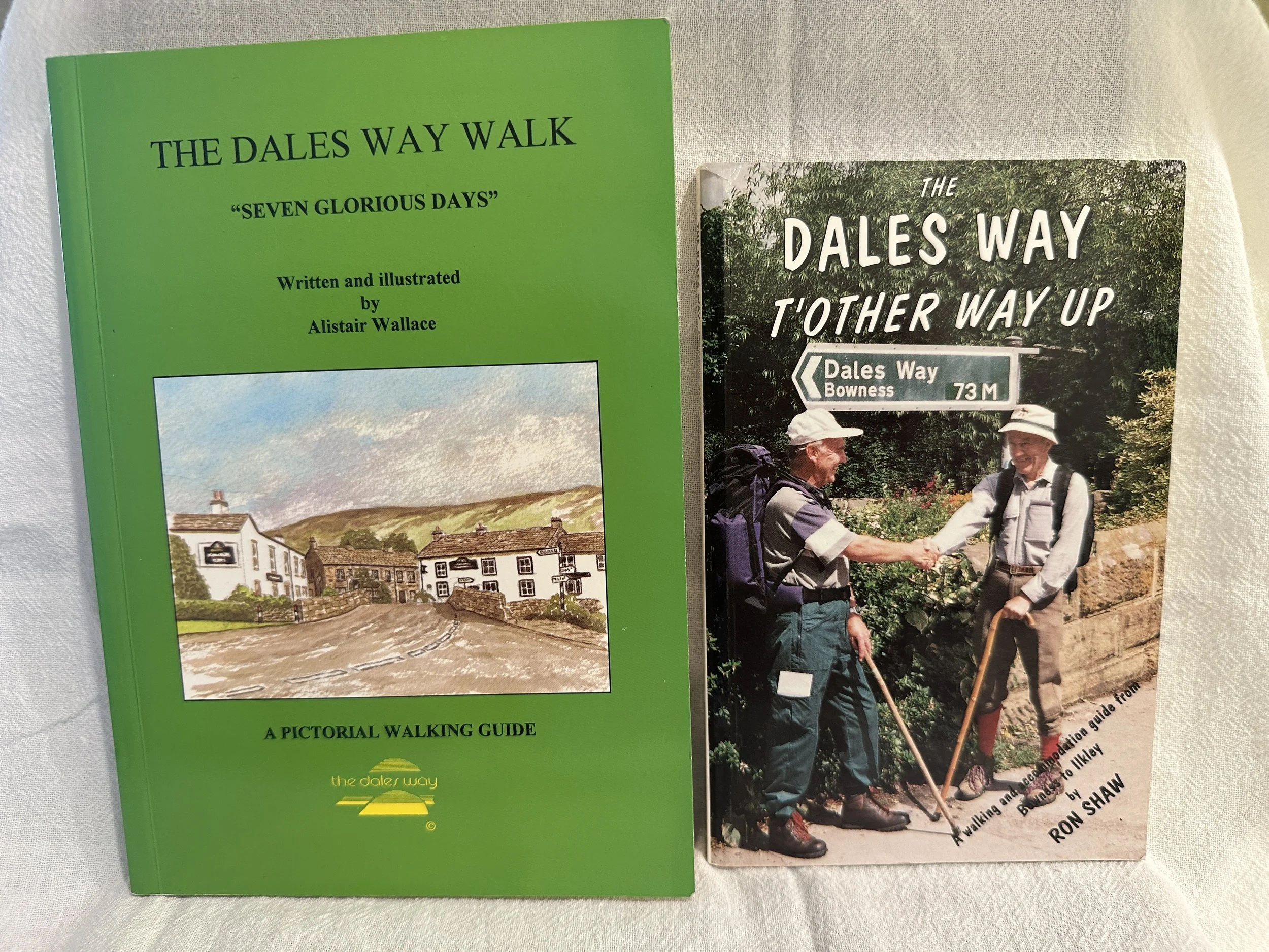
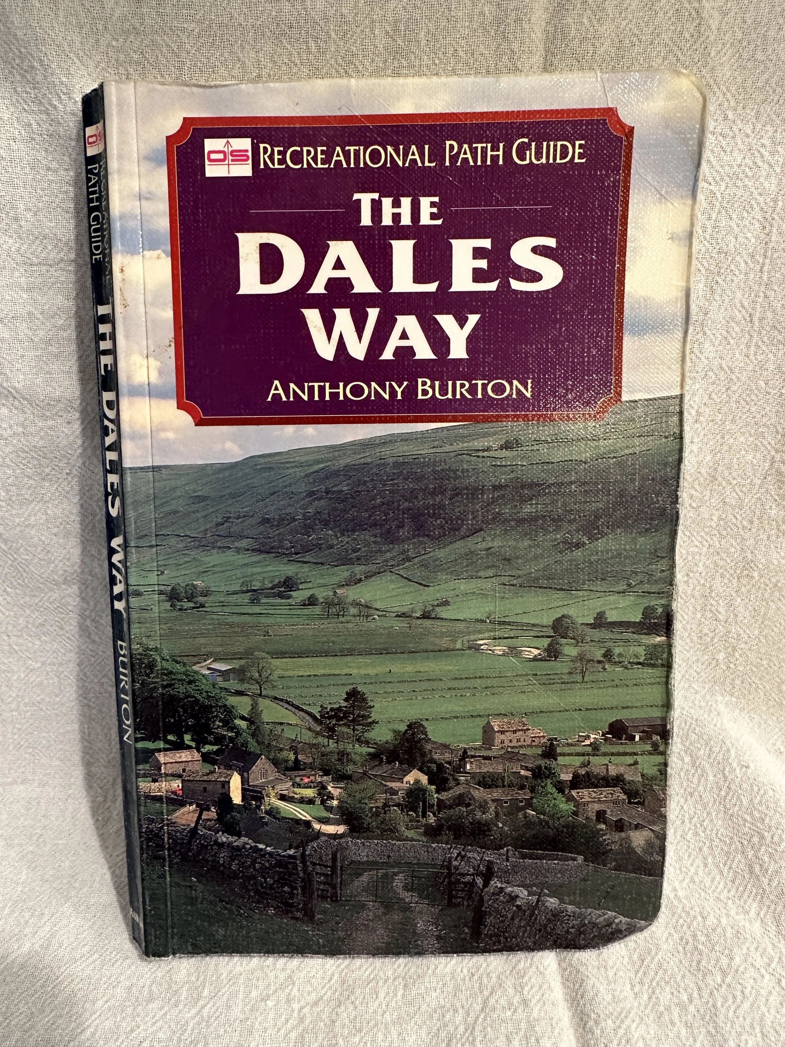
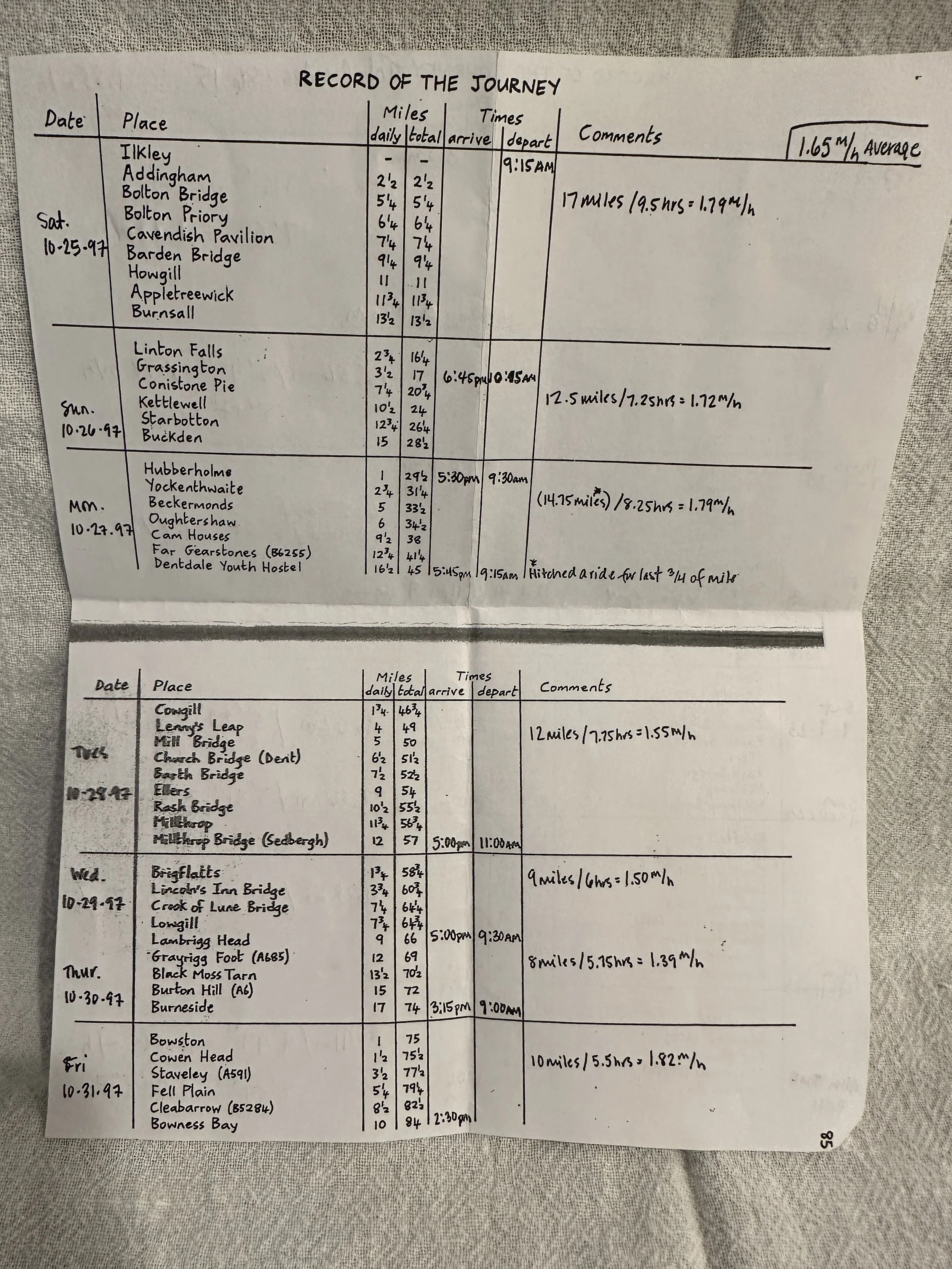
Here are books and maps we used for this trip and the 1997 trip. We’re mappy people so we had small scale, medium scale, and large scale maps with us on the trail. Our interactive (and small scale) option is OutdoorActive app with the Ordnance Survey maps. The OS app doesn’t allow one to add waypoints—so when we were planning our trip and where to stay, that was a non-starter. We really didn’t use the OutdoorActive app much on the trail, only when we needed a “blinking blue dot.” Analog/paper maps are the way to go and our preferred navigation tool.
We didn’t want to check luggage on our flights so we decided to buy hiking poles in London (TSA doesn’t allow in carry-on). We bought poles cheaper-ish at Mountain Warehouse. We didn’t need fancy carbon fiber, just something to keep my knees in check and something to stabilize. At the end of our trip, we donated our poles to Outdoor Emporium in Camden, where they will give them to customers that may not have the means to buy them themselves. Exactly what we wished for.
My base pack weight was 14 pounds, and I carried an Osprey Mira 32L pack. It was perfect. I thought the pack would be too heavy (it’s 3ish pounds) as I was trying to be light (but not ultralight), but the framed pack was what I needed. It was great for both the trail and the urban travel. David carried a Gossamer Gear Kumo 36L pack. His base weight came in at about 11 pounds. I think he would have been more comfortable with a framed pack, but it worked pretty well for him. We did not use a luggage/sherpa service. And yes, I bought yarn in London, and David hauled it. Thank you David.